Hats off and three cheers to the valiant SCS members who have just completed their second visit to the National Archives with more maps checked, listed, and photographed. Great work!
Discover more from Salonika Campaign Society, 1915-1918
Subscribe to get the latest posts sent to your email.

Hats off and three cheers indeed! This is great work.
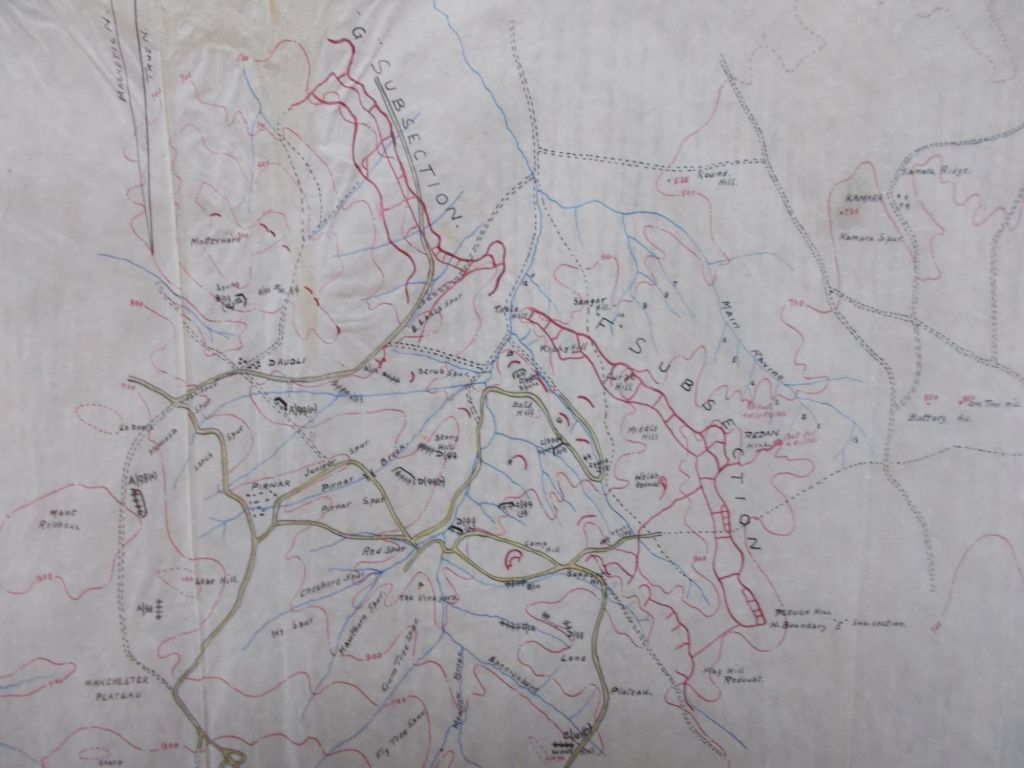
If the team haven’t already come across it, I recommend WO 153/1009 which I discovered on a visit to TNA some years ago. It will be of interest to anyone who, like me, is keen on XVI Corps operations in the Struma Valley. There are three sheets which are described as: Struma Valley, Intelligence from maps and sketches captured in Palestine.
Based on maps captured from Turkish forces, they show positions in the lower end of the Struma (including Tumbica Farm) although, by the time these reached 27th Division in January 1918, the Turks were long gone from the Struma. Even so, they were of some use as they confirmed estimated garrison strengths in various positions.